O|S is a long established civil organisation which is over 200 years old, and when O|S decided to map the entire landmass of the UK they divided the country into hundreds of small rectangular areas, each area covering a region the size of 22 km by 25 km. To cover the whole of the UK required a total of 403 such rectangles.
 |
| Landmass of UK divided into 403 rectangles |
It so happened that the surrounding areas near where we lived (Camberley, Bagshot, Farnborough, Sandhurst, etc.) all happened to fall along the edge of these arbitrarily divided rectangular areas. So, if you buy the map for the Guildford area, Frimley would be on the top edge of one of the maps, and Camberley, Sandhurst and Bagshot would be in the bottom edge of another neighbouring map.

This meant that if you want to see all of your surrounding areas, you would have had to buy several maps.
But that's no longer a problem since O|S now provides a customise mapping service called OS Select.
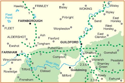
With OS Select, you can define your own location to be the centre of the map and it will print and package your customised map to your door within 3 days. Here's one I made earlier!
 | |
| First of all, define the map centre by entering a town or a postcode. |
 | ||
| Preview the area the map will cover and adjust the centre point, if required. |
 |
| Finally choose a cover design and what you want the map to be called. |
Wait for 3 days and here's the finished product.
You may be wondering what is the point of maps of this type when you have Google maps or navigation devices or social apps like Four Squares on your mobile. Well, the thing with Google maps and navigation devices is that they're very good at helping you get from one place to another, but when it comes to telling you exactly what's there when you arrive at the destination, they fall down very badly.
Sure, they can tell you where your nearest Starbucks or Pizza Hut is, or which hotel receives higher recommendation or what Charlene from San Diego thought about a bar in Islington, but they aren't so good at telling you if there are any interesting archaeological sites, land features (masts, pylons, wind turbines, light houses, foot bridge, cattle grid, etc.), natural features (surface height, elevation and rock type), vegetation (coniferous or non-coniferous trees, shrubs, orchard, marsh, bracken or grasslands), tourist and leisure information (camping sites, caravan sites, cycle trails, fishing, nature reserve, picnic sites, preserved railways, pubs, view points, etc.). O|S maps are the only ones which can reveal all of that information and much more.
Compare the difference between O|S and Google maps for an area around Ordnance Survey head office. There is no comparison, really!
So, if you are convinced and if you would like to have your own personalised and unique map then head towards http://www.shop.ordnancesurveyleisure.co.uk/osselect.
Have fun!
P.S. I do work for the company but I don't get paid for this!


No comments:
Post a Comment